Ripiraian corridor inventory using NAIP & LiDAR
Project Title: Improved remote-sensing imagery techniques to identify riparian corridor characteristics in headwater streams and inventory wetlands, lakes, and permanent streams in West Tennessee.
PROSPER model development
(1) test the USGS Probability of Streamflow Permanence (PROSPER) model in West Tennessee, specifically the Lower Mississippi-Hatchie Hydrologic Unit (HUC 4-0801), to examine current wetlands, lakes, and permanent streams in the region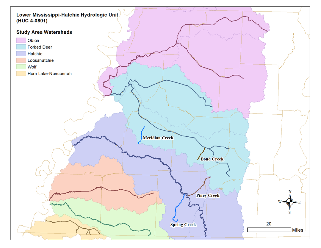
NAIP & LiDAR to inventory riparian corridor characteristics in headwater streams in West Tennessee
(2) identify and inventory current riparian corridor and bufferstrip characteristics in watershed headwater streams by integrating fine-resolution aerial imagery from the USDA National Agricultural Imagery Program (NAIP) and Light Detection and Ranging (LiDAR) data. This project will also provide scalable and transferable methods (R code for the PROSPER model and Python code for automating NAIP / LiDAR image processing under the Google Earth Engine (GEE) and High Performance Computing (HPC) platforms) useful for state agencies to apply to newer imagery (NAIP updates every two years) or to other streams’ monitoring efforts for the tracking of spatio-temporal changes to riparian characteristics.
Youngsang Kwon
Associate Professor
His research interest focuses on the application of geospatial methods to understand fundamental ecological and environmental processes that regulate biodiversity, species distribution, and abundances.